
Location & transportation
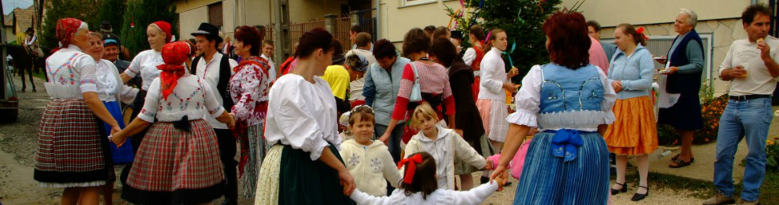
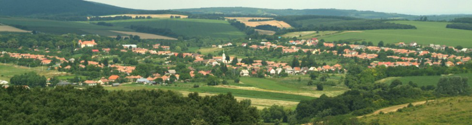
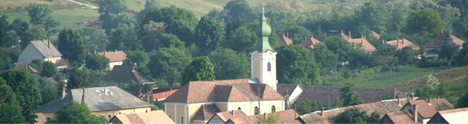
Nézsa (Nógrád county)
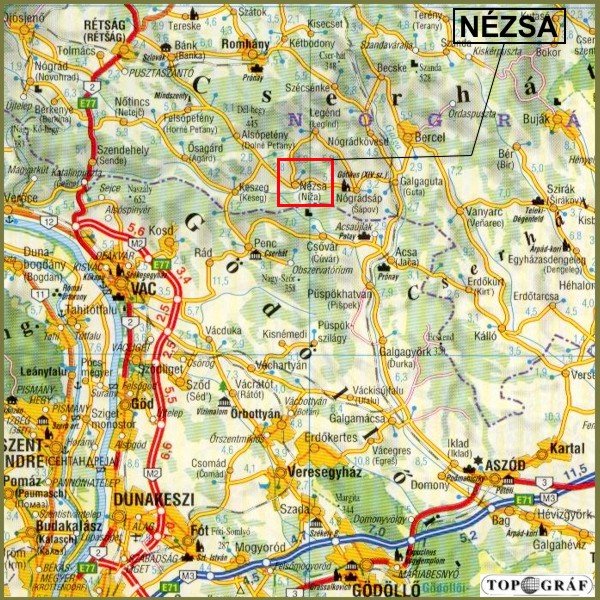
 Nézsa is located in the Northen mountain range, among the western parts of Cserhát, in the Nézsa-Csővári rolling country. It is 50 kms from Budapest to the north, on the southwestern boundary of Nógrád County, its territory is connected directly with that of Pest County. Geographical cordinates: 47,50N, 19,17E, average altitude is 235-270m.
Transportation
From Budapest: take national road 2 (or 2/A) till Vác; turn towards Rád then go on via Penc, Keszeg.
At the junction of national roads 2 and 22 - at Rétság - turn to Bánk then you reach the village via Alsópetény.
On the road Balassagyarmat-Aszód turn off in Galgaguta, in the direction of Nógrádsáp.
Public bus service is available from Vác, buses leave about every hour.
There is direct bus service from and to Budapest as well as from Balassagyarmat.
Map of the area (Click on the map):